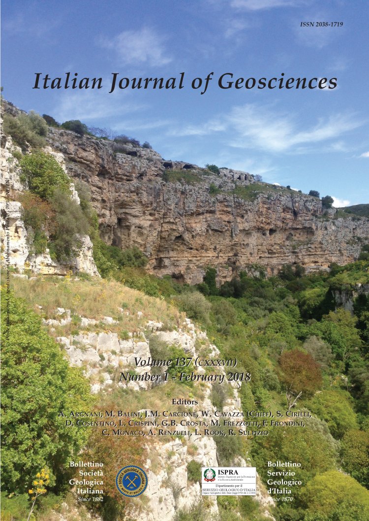

1:5,000 geological map of the upper Cretaceous intraplatform-basin succession in the "Gravina di Matera" canyon (Apulia Carbonate Platform, Basilicata, southern Italy)
Vincenzo Festa (*), Luisa Sabato (*)(**) & Marcello Tropeano (*)
(*) Dipartimento di Scienze della Terra e Geoambientali, Università degli Studi di Bari "Aldo Moro", Bari, Italy. Studi di Bari "Aldo Moro", Via E. Orabona, 4, 70125 Bari. Corresponding author e-mail: vincenzo.festa@uniba.it. (**) Dipartimento di Biologia, Università degli Studi di Bari "Aldo Moro", Bari, Italy.
Volume: 137 (2018) f.1
Pages: 3-15
Abstract
Along the slopes of the "Gravina di Matera" canyon, below and in front of the "Sassi di Matera", i.e., the old Matera town (Basilicata, southern Italy), an about 200 m thick succession of upper Cretaceous carbonates extensively crops out. These carbonates belong to the Apulia Carbonate Platform and, in the official geological map, are referred to the Calcare di Altamura Fm, a lithostratigraphic unit composed of shallow-marine peritidal limestones. In order to study the whole outcropping succession, a geological survey was performed in the area and an "unaspected" intraplatform shallow-basin suite of limestones has been recognized within the Calcare di Altamura Fm. On the basis of lithologic characters, the whole succession has been divided into informal lithostratigraphic units a-g. The base of the succession (unit a) is represented by a crudely stratified bioclastic floatstone-rudstone locally interested by in situ brecciation, a phenomenon that often is the precursor of deep changes in a carbonate platform. Unit a sharply passes upward to thinly bedded and finely planar-laminated mudstone interested by slumps (unit b), conformably covered by dolostones (unit c). Dolostone gradually passes to cherty limestones (unit d) that in turn pass to wackestones (unit e) covered by a megabreccia (unit f). All these units (a-f) indicate that this area of the Apulia Platform performed a change from "classic" platform environments to slope- and to basin-ones, before the restarting of typical facies of shallow-marine carbonate platform environments (unit g). This subdivision in units of the outcropping succession led us to informally define a member, the Matera member (ALT1), within the upper Cretaceous Calcare di Altamura Fm (ALT). Most likely, the Matera member (units a-f) represents a shallow-basin developed within the Apulia Platform during Late Cretaceous, most likely related to extensional tectonics. Other examples of slope-to-basin sedimentary suite were previously observed within the upper Cretaceous succession of the Apulia Platform and the occurrence of another shallow-basin in the interior of the same platform opens a new and still understimated regional tectonic- and paleogeographic-scenario. Moreover, it should be highlighted that the geological surveyed area belongs to a Regional Natural Park since the 1990 ("Parco Archeologico Storico Naturale delle Chiese Rupestri del Materano" also known as "Parco della Murgia Materana") and that Matera, besides being in the Unesco Word Heritage list since the 1993, has been voted European Capital of Culture 2019. Therefore, the obtained 1:5,000 geological map, apart from documenting some lithostratigraphic evidences of the intraplatform basin, represents an essential tool for both (i) future studies regarding the upper Cretaceous tectono-stratigraphic evolution of the Apulia Platform, and (ii) a geological base for many visitors interested in the cultural and geological heritage of Matera and its territory.
Keywords
Get Full Text Attached