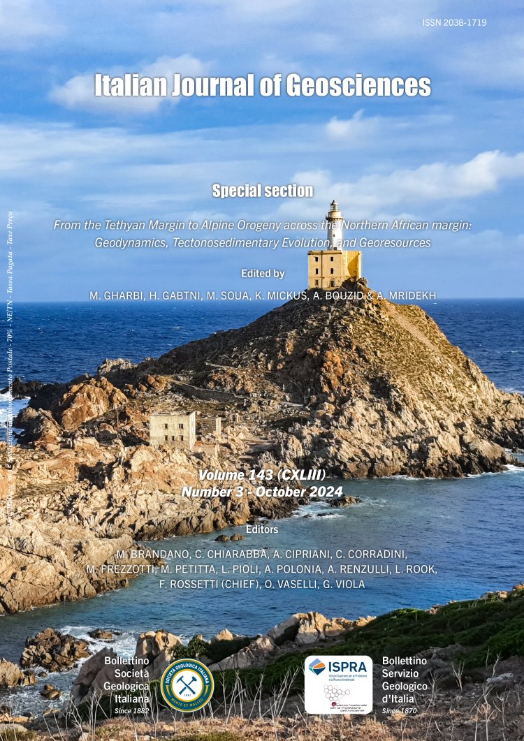
A review of criteria, methods, and standards for mapping crystalline terrains: integrating field geology and analytical data
Matteo Simonetti1, Diego Pieruccioni1, Rodolfo Carosi2, Chiara Montomoli2, Salvatore Iaccarino2 & Martina Zucchi3
1Geological Survey of Italy, Institute for Environmental Protection and Research (ISPRA), Via Vitaliano Brancati 60, 00144 Roma, Italy.
2Department of Earth Sciences, University of Turin, Via Valperga Caluso 35, 10125 Torino, Italy.
3Department of Earth and Geoenvironmental Sciences, University of Bari, Via E. Orabona 4, 70125 Bari, Italy.
Corresponding author e-mail: matteo.simonetti@isprambiente.it
Volume: 143 (2024) f.3
Pages: 426-454
Abstract
Over the years, several approaches have been proposed for mapping crystalline rocks. Among them, some have been formalised in stratigraphic codes, such as the lithostratigraphic units proposed by the International Sub-commission on Stratigraphic Classification (ISSC), or lithodemic units suggested by the North American Stratigraphic Commission (NASC). Despite the efforts to understand the optimal way to map crystalline rocks, the approaches proposed by the different stratigraphic codes are limited and/or extremely reductive when applied to crystalline rocks. Indeed, in their application, it is not possible to separate rocks with similar lithological/
petrographical features but recording a contrasting tectono-metamorphic evolution. The integration of lithostratigraphic, structural, petrological, geochemical, geochronological and geophysical data is a fundamental objective of modern and updated geological mapping of crystalline terrains.
The working procedure for studying crystalline rocks in the field and in the laboratory (e.g., geological and structural data collection and microstructural analyses), is applied to a segment of the Variscan belt in NW Sardinia, which is currently being re-mapped to produce Sheet N. 425 Isola Asinara (CARG Project - Italian National Geological Mapping Project on a 1:50,000 scale). The obtained results highlight the importance of a multidisciplinary approach based on classical and innovative techniques integration, essential for the mapping and detailed study of crystalline terrains.
Keywords
Get Full Text